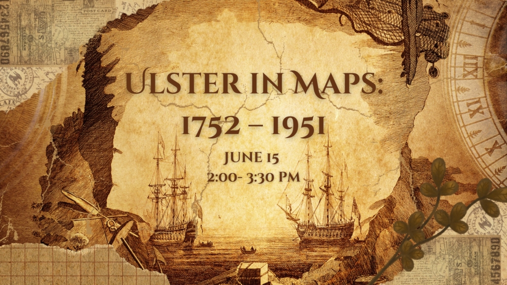
Ulster in Maps: 1752 – 1951

Step back in time and explore the stories hidden in Ulster County’s maps. Join us for a fascinating presentation that brings history to life through cartography!
Take a journey through time with this illustrated talk exploring how Ulster County has evolved through a fascinating collection of historic maps from 1752 to 1951. From early land use and transportation routes to emerging towns and shifting boundaries, these maps reveal the county’s transformation over a century. Join former Ulster County Historical Society Board President Phil Ryan for an engaging presentation, with opportunities to ask questions and closely examine the featured maps after the talk.
This program is perfect for history buffs, educators, students, and anyone curious about Ulster County’s past. Don’t miss it!
Loading Map....